The Return to Henry Coe
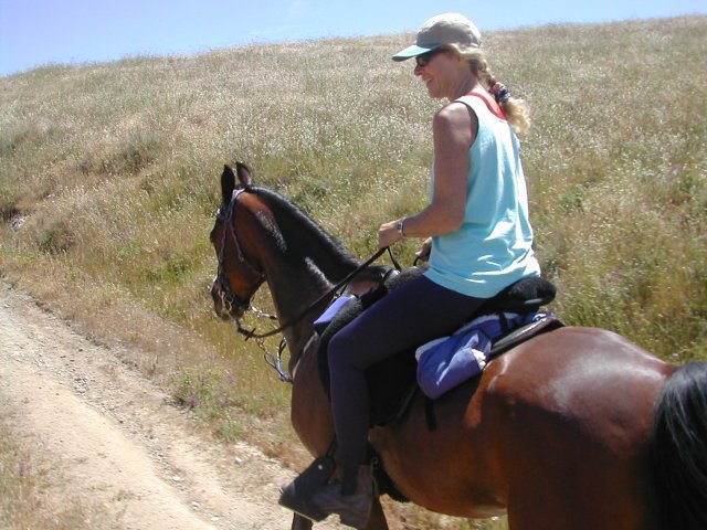
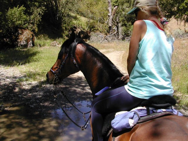
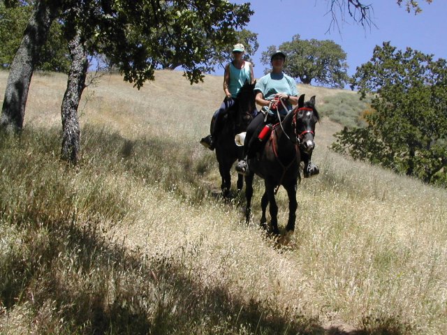
Our last trip to Henry Coe was so successful that we decided to try to fit one more trip down there before it got too hot. We went last Friday, May 16. The cast of characters consisted of Judy and Cody "I'm ALWAYS Ready" Robinson, Debbie and Cal "Mach 1" Boscoe, and Ali and I.
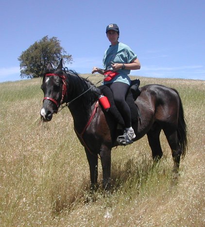
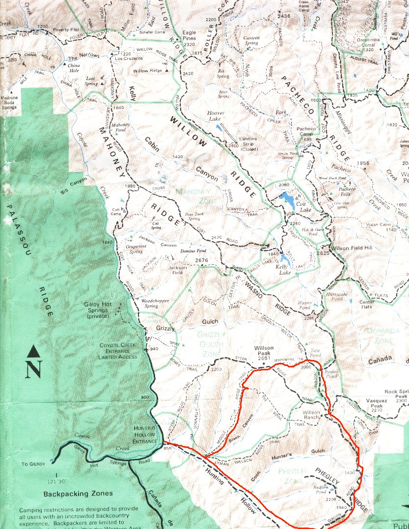
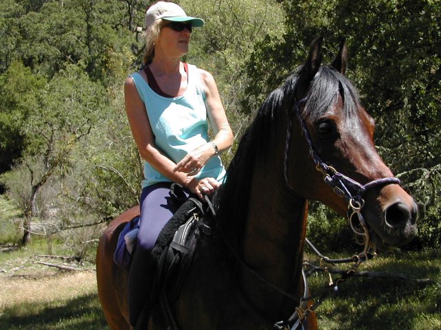
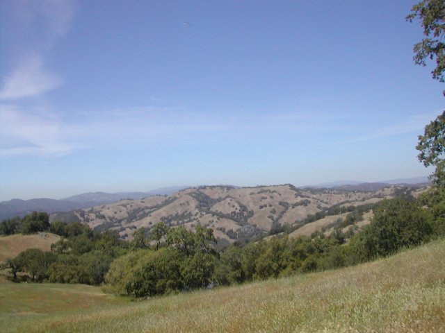
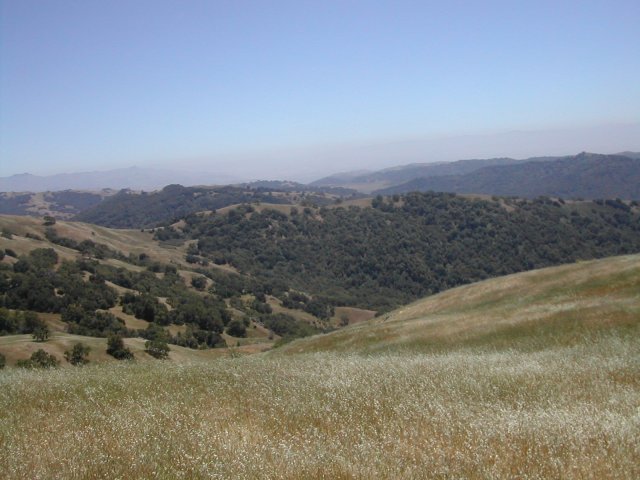
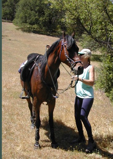
The pictures above are of Judy and Cody and Debbie and Cal. The map in the middle shows most of our route. To give you a sense of the size of the park, the ride that we took is outlined in red. I figure that it was about 15 miles. The total area that you can see is the part of the map that was scannable onto one 8.5 x 11 sheet of paper. The map of the entire park would take on the order of 9 sheets of paper! 82,000 acres is a lot.
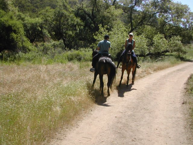
I had a route all planned out, but I lost track of it (after the ride we figured this out) about 100 yards out of the parking lot. I was so confused that I couldn't even find us on the map. Fortunately, Debbie didn't have any preconceptions about where we were supposed to be, so she was able to orient us with the help of a couple of reference points. However, as can be seen above, navigation didn't take place without some differences of opinion as to which direction to go. And Judy thought the whole thing was pretty funny. But, as the saying goes, "It's all good" - there is still plenty of water in the park, which is the major problem later in the year, and all the views are beautiful. Since we were near western edges of the park, we were able to see the Silicon Valley smog on the horizon.
We ended up going down a really, really steep trail (Middle Steer Ridge Trail) to the bottom; so steep that we all got off and walked. I didn't do it to save Al, I did it because I didn't want to be aboard when she started somersaulting downhill.
When we got to the bottom, we were able to figure out at least part of how we went wrong at the beginning - we had to go through what looked like a locked gate to get to the trail I was looking for. On the way back, we were on the wrong side of the gate and were *motivated* to find a way through, which we did. Good things to learn for next time.
Our route ended up being Wagon Road out of Hunting Hollow, all the way past Wilson Ranch. (As a point of information, there are both a water trough and an outhouse at Wilson Ranch, but the water trough is about 50 yards uphill from the outhouse.) About a mile after Wilson Ranch, we took Serpentine Trail over to Steer Ridge Road. From Steer Ridge Road, we dropped down to Steer Ridge Trail, which intersected with Wagon Road about half a mile out of the parking lot. All in all, the ride took about 4 hours. We did about 2800 feet of climbing (I took an altimeter) and we went about 15 miles, measured off the map. We crossed several streams still running and there were lots of little pothole lakes with lots of water in them. The wildflowers were on their way out, but there were still a few of them in bloom. All in all, an excellent ride, as usual.